


Here’s a new way to think about a geopolitical crisis: when the pictures stop. On Saturday, satellite imagery company Planet Labs (PL) told its customers it would stop providing images of Iran and the broader Middle East conflict zone. Not for a day, not for a week, but for an open-ended period with no set end date. The reason? The U.S. government asked them to.
Think of it as a digital curtain being drawn. According to reports, the U.S. asked satellite imagery vendors to hold back pictures of the area. Planet Labs isn't just stopping new images; it's also blocking access to its archive of imagery going all the way back to March 9. The company expects this blackout to last until the fighting stops. This is a major step up from a policy they put in place just last month, which simply slowed down the distribution of Middle East images by 14 days. Back then, the company said it was trying to prevent hostile actors from using commercial satellite pictures to plan attacks against the U.S. and its partners. Now, it's a full stop.
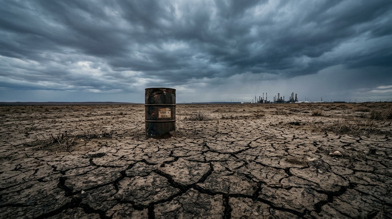
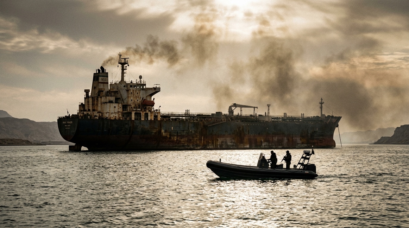
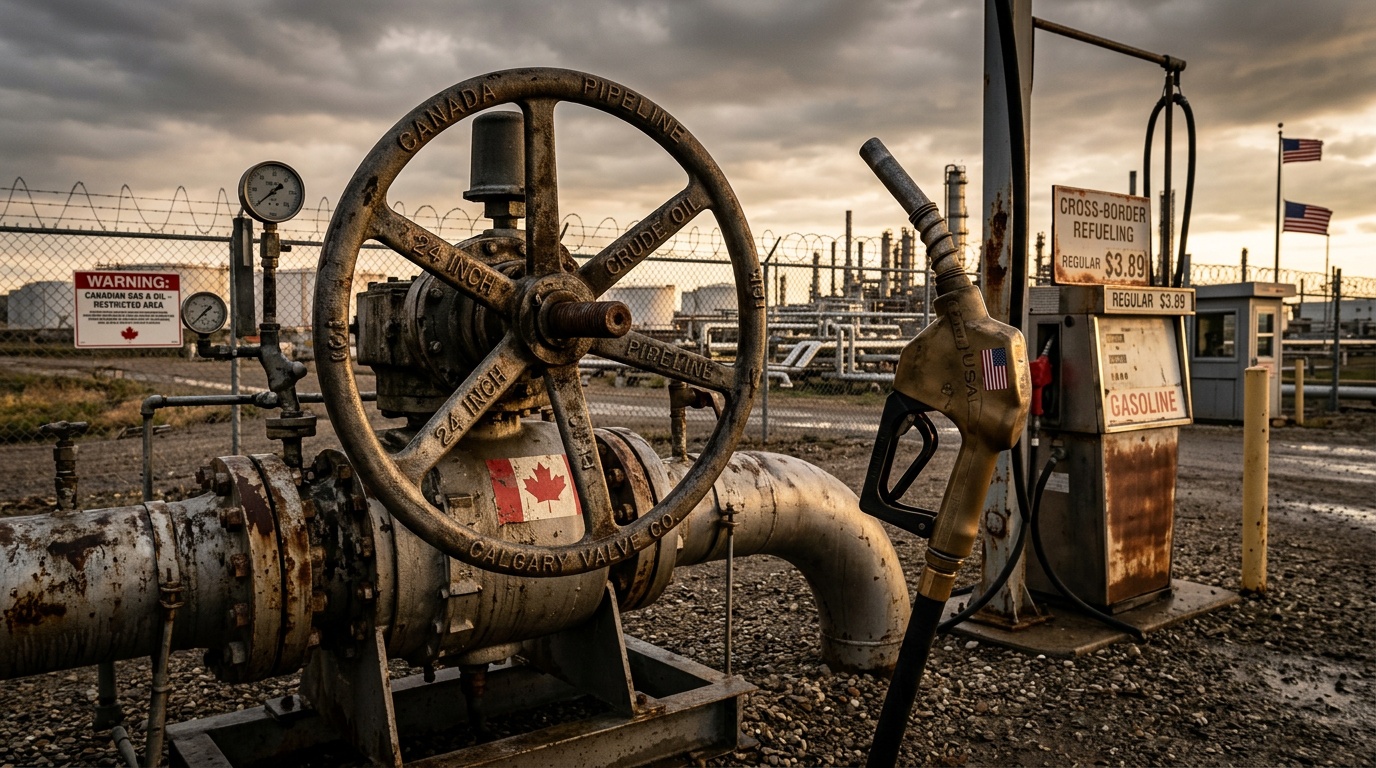
So why now, and why does it matter? The timing is everything. This move comes as President Donald Trump is turning up the heat on Tehran with a very specific, very time-sensitive threat: a 48-hour ultimatum tied to keeping the Strait of Hormuz open. If you're not familiar, the Strait of Hormuz isn't just any waterway. It's a chokepoint that carries about one-fifth of the world's oil and liquefied natural gas. It's basically the main artery for global energy markets. Trump has paired this deadline with explicit threats against Iranian infrastructure, like power plants, if shipping isn't allowed through without what he calls "intimidation."
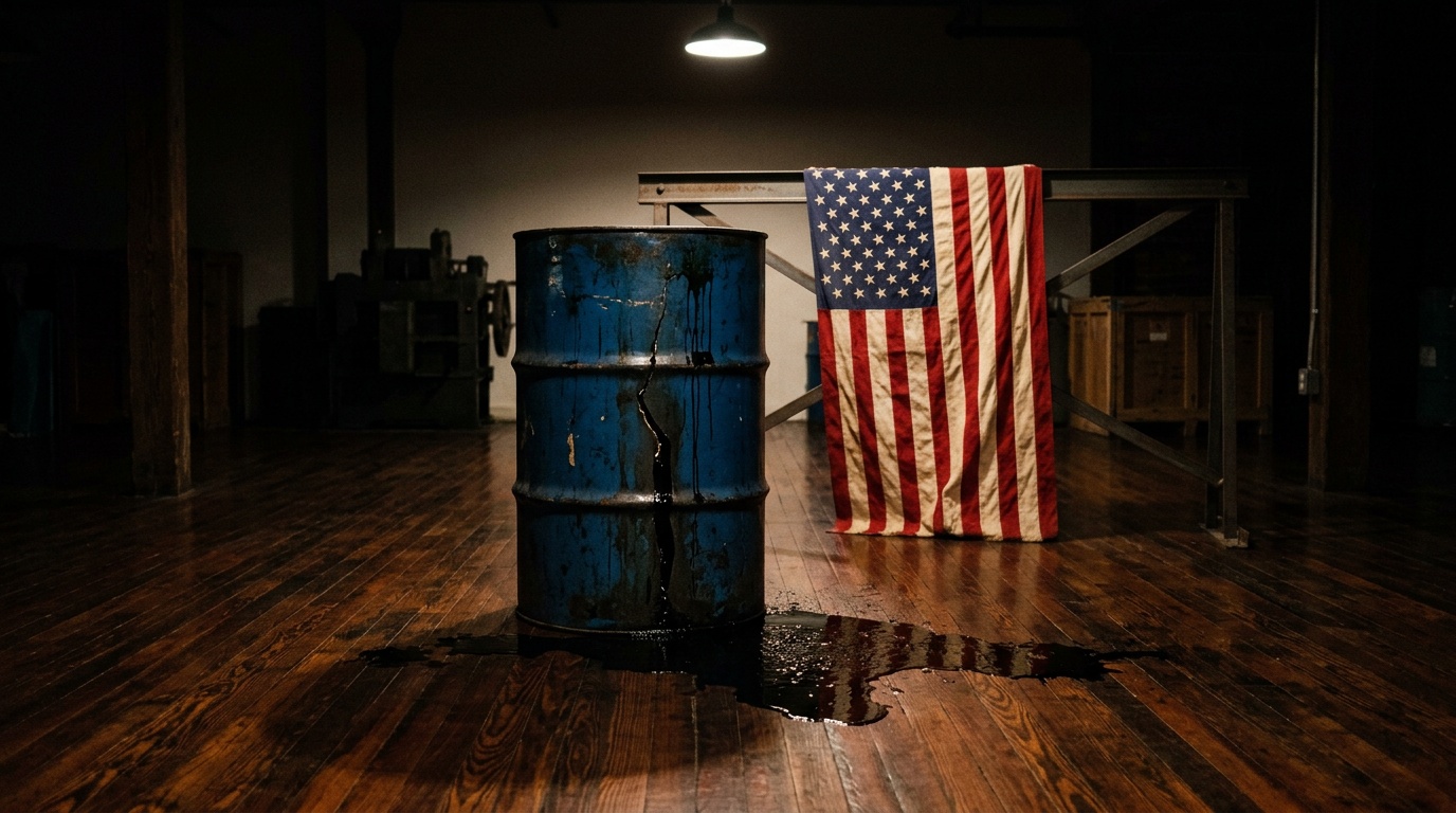
In the same flurry of statements, Trump also tried to link the Iran campaign to the domestic economy, touting 178,000 jobs added and claiming the trade deficit fell 55% after tariffs. It's the classic Trump move: connect foreign policy pressure to a domestic win, even if the link is a bit of a stretch.
On the other side, Iran's public position has been more about conditional access than an outright shutdown. Ali Mousavi, identified as Iran's ambassador to the U.K., has described a framework where ships not tied to Iran's enemies could still transit the strait—if they coordinate on safety and security steps with Iranian authorities. Iran says it's also continuing to work with the International Maritime Organization on maritime safety. So, it's a tense standoff with a narrow path for de-escalation.
Planet Labs, for its part, says this move is part of a shift toward more selectively controlling the release of its images. Going forward, each image release will be assessed on its own merits. The company says priority will be given to cases with critical operational demands or a clear benefit to the public interest. In other words, the era of wide-open, near-real-time commercial satellite surveillance might be getting a serious reality check.
This whole situation has also revived a debate about U.S. strategy. Remember John Bolton, the former National Security Advisor? He's been critical of Trump's approach, warning that setting strict timelines—like that 48-hour ultimatum—can distort military decision-making. Bolton has argued that Trump's earlier, optimistic projections of a quick resolution to the conflict (he initially estimated four to six weeks) were overly simplistic. "He's overstated the results, and that is always a mistake," Bolton stated.
Bolton's broader point is that a strategy lacking decisive action against Iran's leadership risks letting the regime recover and rebuild its capabilities. His critiques highlight the unpredictable nature of warfare, especially around a place as strategically vital as the Strait of Hormuz. If Iran decides to retaliate, the global oil supply could get a nasty shock.
Which brings us back to why satellite images are so valuable. This conflict has shown just how crucial near-real-time satellite data is. For the military, it's used for everything from finding targets and tracking missiles to supporting communications. But it's not just for generals. Journalists and researchers rely on this imagery to monitor places that are too dangerous or difficult to access on the ground. When that feed gets cut off, a lot of people—from analysts to the general public—are left in the dark.
The conflict itself started after U.S. and Israeli strikes on Iran on February 28. It widened when Tehran hit back at Israel and U.S. bases in Gulf states like Saudi Arabia, Kuwait, and Bahrain. Alongside the actual fighting, there have been separate reports of shipping being discouraged simply by the fear of Iranian attacks. Trump's latest threat around Hormuz followed a strike on an Iranian nuclear facility, with signals from Washington and Israel that more attacks could be coming. Trump has also pointed to earlier U.S. strikes on Iran's Kharg Island—a crucial hub for Iranian oil exports—as evidence that energy logistics are a key pressure point.
Meanwhile, Trump has talked about building an international coalition to keep the Strait of Hormuz open, with potential participants including China, France, Japan, South Korea, and the U.K. It's a diplomatic heavy lift, but it shows how central this waterway is to global trade and stability.
So, what you have is a high-stakes geopolitical showdown, a critical global oil chokepoint, and now, a major source of public intelligence going dark. Planet Labs turning off the tap isn't just a corporate compliance story. It's a signal of how information itself becomes a tool—and a target—in modern conflict. For markets, for journalists, and for anyone trying to understand what's happening in a fog of war, the view from space just got a lot cloudier.